San Jose
SJC
San Jose Mineta International Airport

United States
Departures


Arrivals

San Jose Mineta International Airport
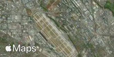
San Jose Mineta International Airport (SJC) serves San Jose, United States, and sits just 4.5 miles from the city center, making it a convenient option for travelers heading into the surrounding area. The airport lies at an elevation of 58 feet above sea level, a low-lying position typical of coastal and valley airports in the region.
Given its proximity to the city it serves, San Jose Mineta International Airport functions as a practical gateway for both business and leisure travelers who prioritize minimal ground transfer time. Its low elevation means aircraft operating here do not contend with the performance considerations that higher-altitude airports can present, and approach and departure paths are generally shaped more by regional geography than by elevation-driven constraints. Travelers flying into or out of SJC can expect a short commute between the airport and downtown San Jose, which is a notable convenience compared to airports situated farther from the urban core.
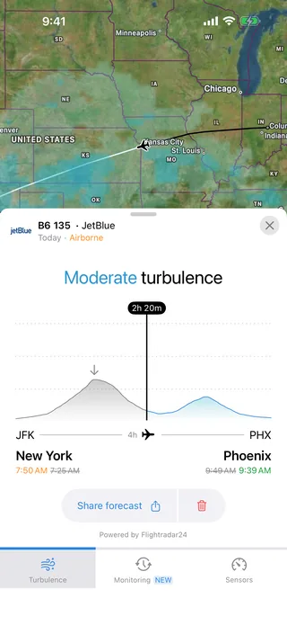
For those checking turbulence forecasts, the airport's coastal-valley setting and modest elevation are useful context: conditions at ground level are shaped by the local terrain and climate patterns typical of this part of the United States, while en route conditions will depend on the specific flight path and distance traveled.
Height above sea level
58 ft
Distance to city
4.5 miles
Traffic volume
150 flight per day
Satellite