Singapore
SIN
Singapore Changi Airport

Singapore
Departures





Arrivals


Singapore Changi Airport
Singapore Changi Airport (SIN) serves Singapore and sits about 11 miles from the city center. It lies at an elevation of just 22 feet above sea level, making it one of the lower-lying major airports in the region.
Changi functions as a major international hub, with traffic connecting Southeast Asia to destinations across Oceania and Europe. The mix of routes reflects Singapore's role as a gateway linking the Asia-Pacific region with long-haul services to other continents, alongside a strong network of shorter regional connections within Southeast Asia. This dual character, combining intercontinental flights with intra-regional hops, points to an airport of considerable scale, handling both high volumes of short regional traffic and sustained long-haul demand.
Given its low elevation and coastal, tropical location, travelers flying through Changi should be prepared for weather patterns typical of equatorial Southeast Asia, including seasonal convective activity that can influence flight conditions. The airport's position as a key link between continents means passengers often connect here between very different climate zones and flight durations, from short regional hops to extended intercontinental journeys.
Height above sea level
22 ft
Distance to city
11 miles
Traffic volume
1300 flight per day
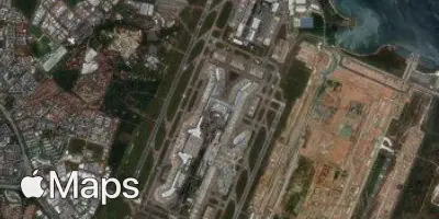
Satellite