Sal
SID
Amilcar Cabral International Airport

Cape Verde



Amilcar Cabral International Airport
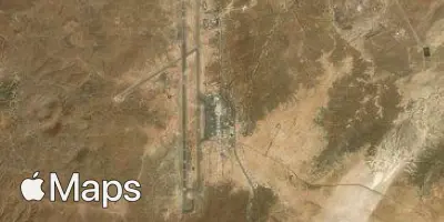
Amilcar Cabral International Airport (SID) serves Sal in Cape Verde, situated about 2.5 miles from the city center. The airport sits at an elevation of 180 feet above sea level, a modest height that has limited bearing on approach conditions but is a relevant reference point for pilots and turbulence forecasting alike.
As the main air gateway to Sal, an island within the Cape Verde archipelago, Amilcar Cabral International Airport functions as a key link between this Atlantic island nation and the wider world. Its position off the coast of West Africa places it at a crossroads for long-haul flights connecting Europe, Africa, and the Americas, giving it an international character despite the relatively small scale of the island it serves. Travelers passing through can expect a mix of intercontinental arrivals and departures, reflecting Sal's role as a tourism and transit hub within the region.
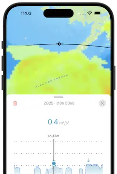
Given its proximity to the ocean and its location on a low-lying island, flights into and out of Amilcar Cabral International Airport can experience the wind patterns typical of Atlantic island airports. Travelers flying from or to SID should consider these coastal and oceanic conditions when reviewing turbulence forecasts, particularly during approach and departure phases where local wind exposure tends to be more pronounced.
Height above sea level
180 ft
Distance to city
2.5 miles
Traffic volume
15 flight per day
Satellite