Reno
RNO
Reno-Tahoe International Airport

United States


Reno-Tahoe International Airport
Reno-Tahoe International Airport (RNO) serves Reno, Nevada, in the United States, located about 3 miles from the city center. The airport sits at an elevation of 4,412 feet, making it one of the higher-altitude commercial airports in the country. This elevation affects aircraft performance, particularly on warmer days, as thinner air at altitude requires longer takeoff and landing distances than airports closer to sea level.
Reno-Tahoe International Airport is positioned in a region of significant topographical variation, with the Sierra Nevada mountain range nearby. This proximity to mountainous terrain can influence local wind patterns and approach conditions, factors that travelers flying into or out of RNO should be aware of when considering flight comfort. The airport's location at the edge of a mountain range, combined with its high elevation, distinguishes it from many other airports in terms of the atmospheric and terrain-related conditions pilots encounter during departure and arrival.
Travelers using Reno-Tahoe International Airport benefit from its short distance to downtown Reno, making ground transportation quick and convenient. The airport's high-altitude setting and mountainous surroundings are defining physical characteristics that shape the flying experience for those passing through this gateway to northern Nevada.
Height above sea level
4412 ft
Distance to city
3 miles
Traffic volume
30 flight per day
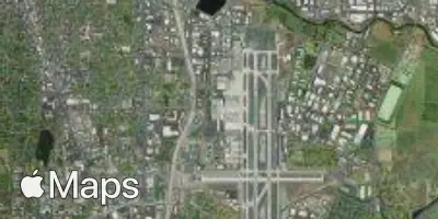
Satellite