Puerto Vallarta
PVR
Puerto Vallarta International Airport

Mexico
Departures


Puerto Vallarta International Airport
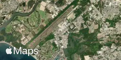
Puerto Vallarta International Airport (PVR) serves the city of Puerto Vallarta, Mexico, and lies approximately 5 miles from the city center. The airport sits at an elevation of just 20 feet above sea level, making it one of the lower-lying airports along the Mexican coastline.
Given its coastal, near-sea-level position, travelers should note that the airport's low elevation places it close to marine weather influences typical of Pacific coastal regions. The proximity to the city, at only 5 miles, means transit times between the airport and central Puerto Vallarta are generally short, an advantage for travelers with tight connections or limited layover windows.
No route or traffic data is available for this airport, so its scale and the character of its connections cannot be described here. Travelers planning a journey through Puerto Vallarta International Airport should consult current flight schedules and turbulence forecasts closer to their travel date, particularly given the airport's low-lying coastal setting, which can be a factor in localized weather patterns.
Height above sea level
20 ft
Distance to city
5 miles
Traffic volume
120 flight per day
Satellite