Palm Springs
PSP
Palm Springs International Airport

United States
Departures


Palm Springs International Airport
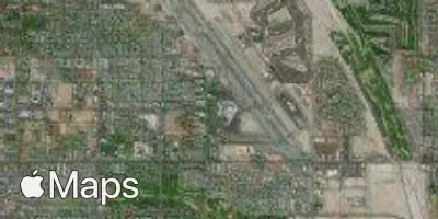
Palm Springs International Airport (PSP) serves Palm Springs, United States, and lies just 3 miles from the city center, making it a convenient gateway for travelers heading into the area. The airport sits at an elevation of 474 feet, a factor that can influence aircraft performance during takeoff and landing, particularly in the warmer months when the desert climate pushes temperatures higher.
Given its proximity to the city, PSP functions as a compact and accessible facility for both leisure and business travelers visiting the Coachella Valley region. Its low elevation relative to many other regional airports means that density altitude effects, while present, are less pronounced than at higher-elevation airports, though pilots and travelers alike should still be aware of how heat and elevation can combine to affect flight operations, especially during peak summer conditions.
For those flying into or out of Palm Springs, the short distance to the city center simplifies ground transportation, reducing overall travel time once a flight lands. This makes PSP a practical choice for visitors prioritizing quick access to the surrounding area upon arrival or before departure.
Height above sea level
474 ft
Distance to city
3 miles
Traffic volume
30 flight per day
Satellite