Newcastle
NTL
Newcastle Airport (Australia)

Australia
Departures



Newcastle Airport (Australia)
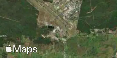
Newcastle Airport (NTL) serves Newcastle, Australia, and sits about 7 miles from the city center. The airport lies at an elevation of 31 feet above sea level, placing it close to sea level with minimal terrain-related influence on approach and departure paths.
Traffic at Newcastle Airport reflects a domestic focus, connecting the city with other major population centers within Australia. The scale of operations is consistent with a regional gateway rather than a major international hub, serving travelers moving between Newcastle and other Australian cities. Given its low elevation and coastal proximity, flights into and out of Newcastle Airport are generally more likely to encounter localized weather patterns typical of low-lying coastal regions rather than the turbulence associated with mountainous terrain.
For travelers using Flying Calmly's turbulence forecasts, Newcastle Airport's position close to sea level and its role as a domestic connector mean that conditions are typically shaped by regional weather systems affecting the eastern Australian coast. The short distance between the airport and the city center makes it a convenient option for those traveling to or from Newcastle, with flight paths generally not requiring significant altitude changes shortly after takeoff or before landing due to the flat surrounding elevation.
Height above sea level
31 ft
Distance to city
7 miles
Traffic volume
50 flight per day
Satellite