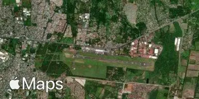
Managua
MGA
Managua Augusto C. Sandino International Airport

Nicaragua
Departures


Arrivals
Managua Augusto C. Sandino International Airport
Managua Augusto C. Sandino International Airport (MGA) serves Managua, the capital of Nicaragua, sitting roughly 7 miles from the city center. The airport lies at an elevation of 194 feet, a low-lying setting typical of the Central American isthmus.
Traffic through this airport reflects an international character, with connections linking Nicaragua to destinations in North America. This positions Managua Augusto C. Sandino International Airport as a gateway for cross-border travel rather than a purely domestic hub, serving travelers moving between Central America and points further north. The airport's role as the country's primary international gateway means most passengers passing through are engaged in longer-haul journeys rather than short regional hops.
For travelers flying from or to MGA, the modest elevation and proximity to the coastal lowlands mean the airport does not face the turbulence considerations associated with high-altitude or mountainous airports. Its short distance from the capital makes it a convenient access point for those beginning or ending international journeys in Managua. Given its function as a link between Central America and North America, flights departing or arriving here often involve longer overwater or overland segments, making forecast awareness useful for passengers planning their journeys through this airport.
Height above sea level
194 ft
Distance to city
7 miles
Traffic volume
20 flight per day
Satellite