Little Rock
LIT
Bill and Hillary Clinton National Airport

United States
Departures


Bill and Hillary Clinton National Airport
Bill and Hillary Clinton National Airport (LIT) serves Little Rock, United States, and sits approximately 6 miles from the city center. The airport is positioned at an elevation of 262 feet above sea level, a relatively low altitude that places it well within typical lowland terrain for the region.
Given its modest elevation, pilots operating into and out of Little Rock generally do not contend with the thinner air and altitude-related performance considerations that airports at higher elevations present. The airport's proximity to the city it serves makes it a convenient point of access for travelers heading into or departing from Little Rock, minimizing ground transit time between the terminal and downtown areas.
For travelers checking turbulence forecasts, the airport's low elevation means that any turbulence encountered on approach or departure is more likely tied to weather systems and atmospheric conditions typical of the surrounding lowland environment rather than terrain-induced effects common at mountainous or high-plateau airports. This makes forecasts for LIT particularly useful for anticipating weather-driven rather than geography-driven turbulence patterns during climb and descent phases of flight.
Height above sea level
262 ft
Distance to city
6 miles
Traffic volume
50 flight per day
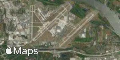
Satellite