Lexington
LEX
Blue Grass Airport

United States


Blue Grass Airport
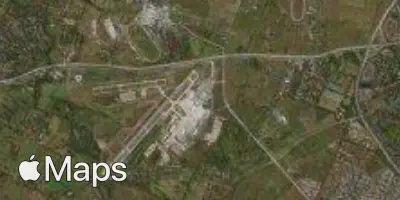
Blue Grass Airport (LEX) serves Lexington, United States, located about 7 miles from the city center. The airport sits at an elevation of 979 feet, one of the higher airport elevations in the region.
The airport's traffic pattern reflects a domestic-focused operation, connecting Lexington primarily with other major cities within the United States. Flights link the airport to key hub destinations across the Midwest, supporting both business and leisure travel. This connectivity allows travelers from Lexington to access broader domestic and, through these hubs, international networks via major carriers. The airport's role appears to be that of a regional gateway, facilitating convenient connections to larger metropolitan areas rather than offering extensive direct international service.
Given its elevation and regional location, pilots and travelers should note that Blue Grass Airport's altitude may have minor effects on aircraft performance during takeoff and landing, particularly in hot weather conditions. Overall, the airport functions as a vital link for Lexington, providing essential connectivity to major U.S. hubs while maintaining a modest, regional operational scale.
Height above sea level
979 ft
Distance to city
7 miles
Traffic volume
25 flight per day
Satellite