Leeds
LBA
Leeds Bradford Airport

United Kingdom
Departures



Leeds Bradford Airport
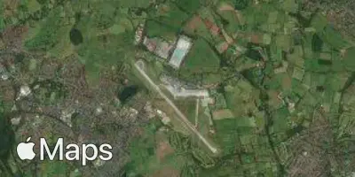
Leeds Bradford Airport (LBA) serves the city of Leeds in the United Kingdom, situated approximately 8 miles from the city centre. The airport sits at an elevation of 682 feet, making it one of the higher-altitude airports in the country, a factor that can influence approach and landing conditions in certain weather.
The airport's traffic pattern reflects a strong connection to leisure destinations across Southern Europe, with routes operated by low-cost carriers linking the region to popular holiday spots around the Mediterranean. This points to Leeds Bradford functioning primarily as a gateway for short-haul international travel, particularly for travelers heading to and from warm-weather destinations. The scale of operations suggests a regional airport catering to a mix of holiday and point-to-point European travel rather than long-haul intercontinental routes.
Given its elevated position at 682 feet, travelers should be aware that the airport's location may result in different microclimate conditions compared to lower-lying airports in the region. Those flying to or from Leeds Bradford on short-haul European routes can expect typical journeys reflective of the airport's role as a regional hub for leisure travel within Europe.
Height above sea level
682 ft
Distance to city
8 miles
Traffic volume
57 flight per day
Satellite