Karratha
KTA
Karratha Airport

Australia
Departures


Karratha Airport
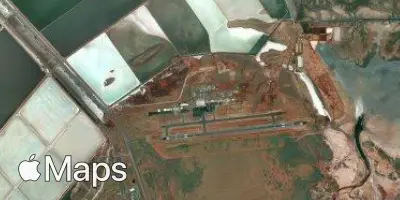
Karratha Airport (KTA) serves Karratha, Australia, and lies approximately 8 miles from the city center. The airport sits at an elevation of just 30 feet above sea level, reflecting the low-lying coastal terrain typical of this part of Western Australia.
No route information is available for Karratha Airport, so its traffic patterns and connections cannot be characterized here. Travelers using this airport should consult airline schedules directly for the most current information on flight options and destinations served.
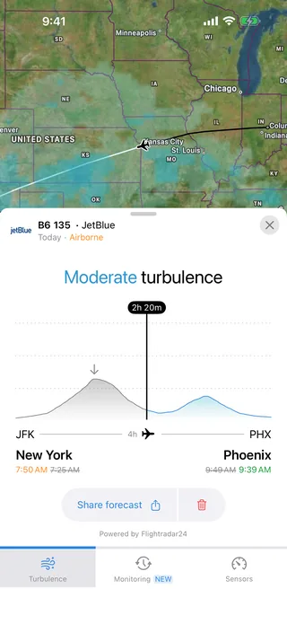
Given its modest elevation and regional location, Karratha Airport functions as a gateway to the surrounding area. Passengers flying into or out of this airport benefit from consulting a turbulence forecast in advance, particularly given the coastal and low-altitude setting, which can influence local weather and flight conditions.
Height above sea level
30 ft
Distance to city
8 miles
Traffic volume
10 flight per day
Satellite