Westchester County
HPN
Westchester County Airport

United States


Westchester County Airport
Westchester County Airport (HPN) serves Westchester County in the United States and lies approximately 33 miles from the city center it serves. The airport sits at an elevation of 439 feet above sea level, a moderate height that can factor into approach and departure conditions in varying weather.
Route patterns out of Westchester County Airport point to a domestic-focused operation, with connections oriented toward destinations along the northeastern United States. The airport appears to function as a regional gateway rather than a long-haul international hub, catering primarily to short- to medium-distance travel within the country. This scale of operation typically means smaller aircraft and shorter runways compared to major international airports, which can influence the type of turbulence experienced, particularly during climb and descent phases where regional weather patterns and terrain near the coast play a more immediate role.
Travelers flying from or to Westchester County Airport should note that its moderate elevation and domestic route network suggest flights are generally shorter in duration, with exposure to regional atmospheric conditions rather than the varied climate zones encountered on intercontinental journeys. This makes localized weather systems, including coastal influences, more relevant to turbulence forecasts for flights connected to this airport than large-scale global weather patterns.
Height above sea level
439 ft
Distance to city
33 miles
Traffic volume
50 flight per day
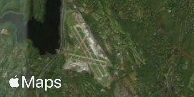
Satellite