Sioux Falls
FSD
Sioux Falls Regional Airport

United States


Arrivals
Sioux Falls Regional Airport
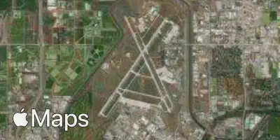
Sioux Falls Regional Airport (FSD) serves Sioux Falls, South Dakota, in the United States. The airport lies about 3 miles from the city center, making it a quick and convenient access point for travelers heading into Sioux Falls. It sits at an elevation of 1,423 feet above sea level, a factor that can influence aircraft performance and approach procedures compared to airports closer to sea level.
As a regional airport, FSD is sized to serve the local community and surrounding area rather than function as a major international hub. Its proximity to the city it serves reflects a common pattern among regional airports, prioritizing ease of access for residents and visitors over the sprawling infrastructure typical of larger metropolitan gateways. Travelers using FSD can expect a more compact, straightforward airport experience compared to sprawling international terminals.
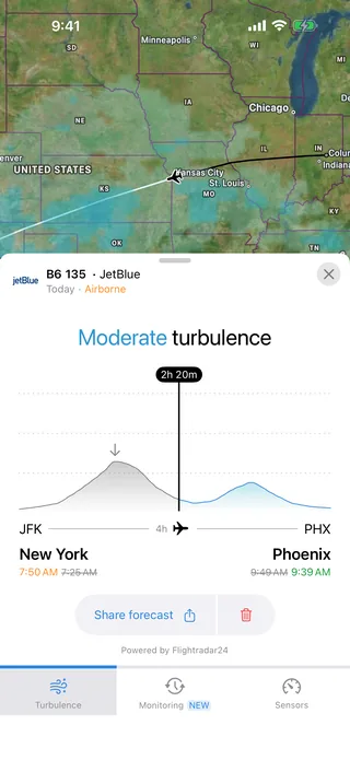
For those tracking turbulence forecasts, the airport's elevation of 1,423 feet is a relevant baseline figure, as it affects the altitude profile of departures and arrivals from the very first and last moments of a flight. Combined with its role as a regional facility close to the city it serves, FSD represents a smaller-scale aviation gateway suited to travelers connecting to and from the broader region rather than a high-volume international crossroads.
Height above sea level
1423 ft
Distance to city
3 miles
Traffic volume
20 flight per day
Satellite