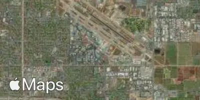
Fresno
FAT
Fresno Yosemite International Airport

United States


Arrivals
Fresno Yosemite International Airport
Fresno Yosemite International Airport (FAT) serves Fresno, United States, and lies approximately 5 miles from the city center. The airport sits at an elevation of 336 feet above sea level.
Fresno Yosemite International Airport functions as a regional gateway for the surrounding area, providing air access to travelers heading into or out of this part of the United States. Its relatively low elevation and inland location place it in a setting typical of California's Central Valley, a geographic factor that can influence local weather patterns and, in turn, the flying conditions experienced on approach and departure. Travelers using this airport should note that its modest elevation of 336 feet is a useful reference point when comparing it to higher-altitude airports elsewhere, as terrain and elevation differences can play a role in turbulence forecasting for specific routes.
Given its proximity to the city it serves, just 5 miles away, Fresno Yosemite International Airport offers convenient access for travelers whose journeys begin or end in Fresno itself, minimizing ground transportation time compared to airports situated farther from their host cities.
Height above sea level
336 ft
Distance to city
5 miles
Traffic volume
30 flight per day
Satellite