Denver
DEN
Denver International Airport

United States
Departures


Arrivals


Denver International Airport
Denver International Airport (DEN) serves Denver, United States, and sits about 25 miles from the city center. At an elevation of 5,389 feet, it ranks among the higher-altitude major airports, a factor that can influence aircraft performance and approach procedures. The airport's high plains location also exposes it to the convective weather patterns typical of the region, which can affect flight conditions at certain times of year.
Traffic through Denver is predominantly domestic, with a dense network of routes connecting cities across the United States, spanning the West Coast, the Mountain West, the Midwest, and the East Coast. The airport also supports a smaller number of international connections into Canada, reflecting its role as a continental hub bridging North American regions. The mix of short regional hops and longer transcontinental routes points to a high-volume operation built around connecting traffic rather than purely point-to-point travel.
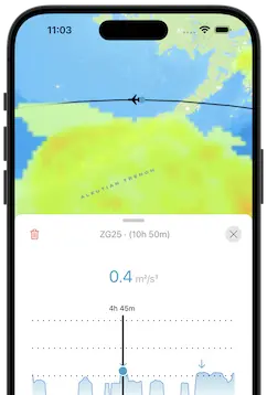
Given its scale and central geographic position within North America, Denver functions as a major connecting point for travelers moving between the coasts and the interior of the continent. Its elevation and exposure to plains weather systems are relevant considerations for passengers tracking potential turbulence on flights arriving from or departing to destinations across the country and into neighboring Canada.
Height above sea level
5389 ft
Distance to city
25 miles
Traffic volume
600 flight per day
Satellite