Cincinnati
CVG
Cincinnati/Northern Kentucky International Airport

United States
Departures





Cincinnati/Northern Kentucky International Airport
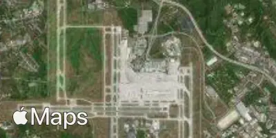
Cincinnati/Northern Kentucky International Airport (CVG) serves the Cincinnati metropolitan area from a location roughly 13 miles from the city center. The airport sits at an elevation of 897 feet, a factor that can influence aircraft performance and approach characteristics, particularly in warmer months.
Traffic through CVG reflects a domestic-focused operation connecting Cincinnati with other major hubs within the United States. The airport's route network is oriented toward linking the region with key business and population centers across the country, supporting both connecting passengers and travelers with Cincinnati as their final destination. This domestic emphasis means that turbulence considerations for most CVG flights will center on continental weather systems, jet stream positioning, and seasonal convective activity typical of inland North American routes, rather than the oceanic or long-haul international patterns seen at larger global gateways.
Given its elevation just under 900 feet, pilots operating into and out of CVG deal with relatively standard air density conditions compared to high-altitude airports, though local terrain and seasonal temperature swings in the Ohio Valley can still contribute to variable low-level turbulence, especially during transitions between weather fronts common to the region. Travelers flying through CVG should expect a primarily domestic travel experience, with flight conditions shaped by the continental air patterns of the eastern and central United States rather than the more complex turbulence profiles associated with transoceanic or high-elevation international airports.
Height above sea level
897 ft
Distance to city
13 miles
Traffic volume
150 flight per day
Satellite