Columbia
COU
Columbia Regional Airport

United States


Arrivals
Columbia Regional Airport
Columbia Regional Airport (COU) serves the city of Columbia in the United States. The airport sits at an elevation of 889 feet and is located approximately 18 miles from the city center it serves.
Given its distance from the city, travelers should plan for ground transportation time when connecting to or from Columbia Regional Airport. The airport's elevation, while modest, is a factor that can influence local weather patterns and approach conditions, and it is one of the details tracked when assessing turbulence forecasts for flights operating in and out of this location. As a regional airport, Columbia Regional is scaled to serve a smaller volume of traffic compared to major hub airports, which typically means more predictable ground operations and shorter processing times for passengers.
For travelers using Flying Calmly to check turbulence forecasts, Columbia Regional Airport represents a regional aviation gateway rather than a major international hub. Those flying through this airport should factor in the 18-mile journey to or from Columbia when planning arrival and departure times. The airport's relatively low elevation of 889 feet places it in typical range for airports situated in the central United States, and this figure is useful context when reviewing forecast conditions tied to specific flights departing from or arriving at COU.
Height above sea level
889 ft
Distance to city
18 miles
Traffic volume
10 flight per day
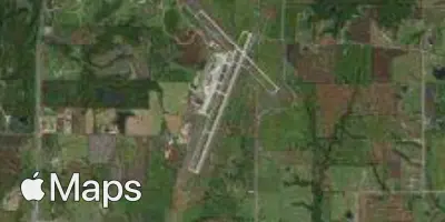
Satellite