Fortaleza
FOR
Aeroporto Pinto Martins

Brasil
Partidas


Aeroporto Pinto Martins
Fortaleza Pinto Martins International Airport (FOR) serves the city of Fortaleza, Brazil, located approximately 5 miles from the city center. The airport sits at an elevation of 82 feet above sea level, a low coastal position typical of Brazil's northeastern seaboard.
Given its position in northeastern Brazil, Fortaleza Pinto Martins International Airport functions as a gateway linking the region to other parts of South America as well as destinations across the Atlantic in Europe and North America. Its international designation reflects a role that extends beyond purely domestic travel, supporting both regional connections within Brazil and longer-haul routes to other continents. This mix of domestic and intercontinental traffic is characteristic of a major airport serving a significant coastal city in the northeast of the country.
Travelers using this airport should note its low elevation near the coast, which is a common feature of airports in this part of Brazil. The proximity to the city center, at just 5 miles, makes it a convenient point of access for those flying into or departing from Fortaleza. As with many coastal international airports in the region, the geographic setting can be relevant when considering broader weather and flight conditions along the northeastern Brazilian coastline.
Altitude acima do nível do mar
25 m
Distância da cidade
8 km
Volume de tráfego
30 voos por dia
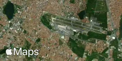
Satélite
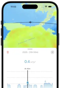
Use a aplicação durante o voo.
Tenha a previsão do voo sempre à mão e receba atualizações dos dados com a nossa aplicação gratuita para telefone e tablet.