Brasilia
BSB
Aeroporto Internacional de Brasilia

Brasil
Partidas


Chegadas
Aeroporto Internacional de Brasilia
Brasilia International Airport (BSB) serves Brasilia, the capital of Brazil, and lies approximately 7 miles from the city center. The airport sits at an elevation of 3,479 feet, notably higher than most coastal airports in the country, which can influence aircraft performance and approach characteristics, particularly in hot weather.
As the gateway to Brazil's capital, BSB occupies a central position within the country and serves as a key connecting point for domestic travel across the vast Brazilian territory, given Brasilia's role as a planned administrative hub located inland rather than on the coast. Its elevated position on the Brazilian plateau also distinguishes it from many other major airports in South America, most of which are situated at or near sea level.
Travelers passing through Brasilia International Airport should note the airport's inland, high-altitude setting when planning connections, as this can affect both flight schedules and turbulence conditions during ascent and descent, especially in the convective weather typical of the central Brazilian plateau. The short distance to the city center makes it a convenient access point for those visiting or departing from Brasilia itself.
Altitude acima do nível do mar
1060 m
Distância da cidade
11 km
Volume de tráfego
200 voos por dia
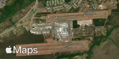
Satélite
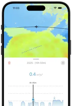
Use a aplicação durante o voo.
Tenha a previsão do voo sempre à mão e receba atualizações dos dados com a nossa aplicação gratuita para telefone e tablet.